Satellite and Airborne Sensors
http://www.noaa.gov/satellites.html
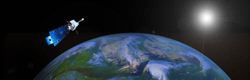
There are many different satellite sensors that are used today. Different sensors have different spatial and spectral resolutions therefore the information they obtain have different uses. To learn more about any of the following satellite and airborne sensors just visit the following webpages.
AVHRR (Advanced Very High Resolution Radiometer)
MODIS (Moderate Resolution Imaging SpectroRadiometer)
GOES (Geostationary Operational Environmental Satellites)
ASTER (Advanced Spaceborne Thermal Emission Reflection Radiometer)
Landsat (Land Remote Sensing Satellite)
JERS (Japanese Earth Resources Satellite)
AVIRIS (Airborne Visible/Infrared Imaging Spectrometer)
MERIS (Medium Resolution Imaging Spectrometer)
DAIS (Digital Airborne Imaging Spectrometer)