While early navigators were able to determine latitude using a quadrant and stars and
direction using a compass, longitude was still uncertain. The method for
obtaining some knowledge of east or west was called "dead reckoning."
Dead reckoning involved marking measured intervals on a rope and then
timing (in seconds) how long it took the rope to go a certain distance.
This gave the sailors their velocity.
From the velocity calculations, and using direction and navigation
charts, they could try to pinpoint their east/west location. The main problem,
however, was that dead reckoning did not take into account ocean tides, which could
mean that a sailor could be miles away from their calculated direction.
http://navis.gr/navigation-columbus-learning/
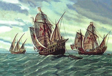
A historical example of the use of dead reckoning is
Christopher Columbus who used the method on all of his voyages
previous home forward