
|
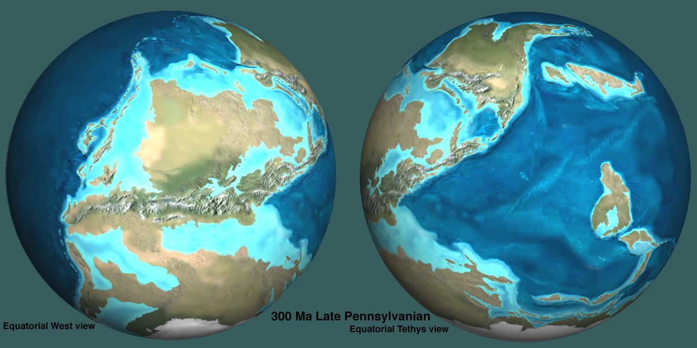
When we look at a map of today it is pretty easy to
find the major continents and countries of our world.
However, if we were to look at a map of the Earth from
100 million years ago it would be difficult to
distinguish which continent was which. The Earth's crust is made up of tectonic plates which shift, collide, and slip under and over each other. Large mountain ranges such as the Andes, Alps and Rockies are the result of 2 tectonic plates colliding. Deep in the ocean, rifts, volcanoes and sea-floor spreading occur when the plates interact or slide apart. The movements of the plates has caused the surface of the earth to change drastically during it's life. There have been times when one super-continent was the only landmass. When sea-levels were high there were shallow seas flooding Europe and straight through North America. Please watch the video clip below to see just how much the continents have moved around in earth's history. try to pay attention to how your country has moved over the years. http://www.youtube.com/watch?v=GNmUd43pabg&feature=player_detailpage To view more paleogeographic maps please view the Links on the right hand side of the screen. |