Summary of Remote Sensing Applications
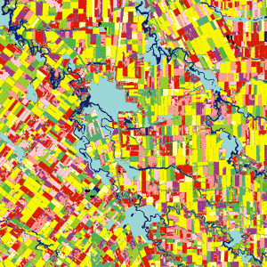
- Land classification
- Meteorologic
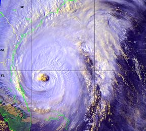
- Weather forecasting
Hurricane Floyd
- Environmental
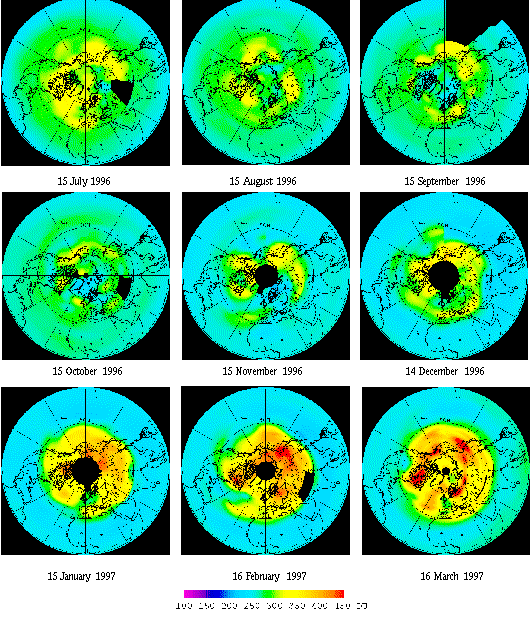
- UV Radiation and Ozone concentration
- Air and water pollution
- Natural Hazards
- Volcano monitoring
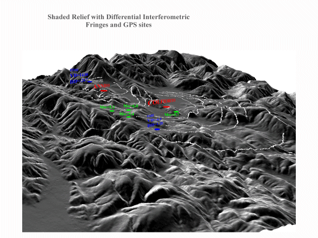
- Tectonic displacement due to earthquakes
- Damage assessment from hurricanes, tornados, floods
Measuring deformation after an earthquake using interferometry
- Monitoring Climate Change
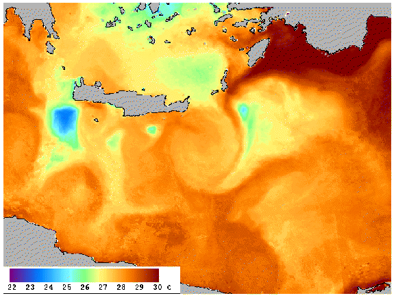
- Ocean temperature
Thermal anomaly detected by the SPOT satellite shows the development of an eddy southeast of the Island of Crete off the coast of Greece in the Mediterranean Sea.
- Polar ice thickness and extent
- Glacial ablation
- Drought


-
Military applications
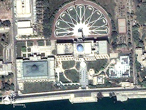 |
Al
Sijood Palace in Iraq |
Source:
rst.gsfc.nasa.gov |
-
Astronomy from space
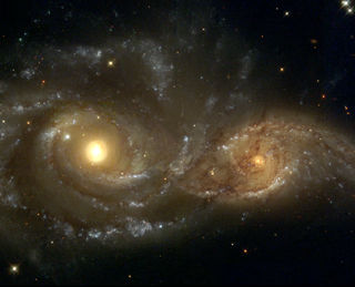 |
Colliding
galaxies as seen from Hubble Space Telescope |
Source:
http://hubblesite.org/gallery/showcase/galaxies/g10.shtml |