Earthquake
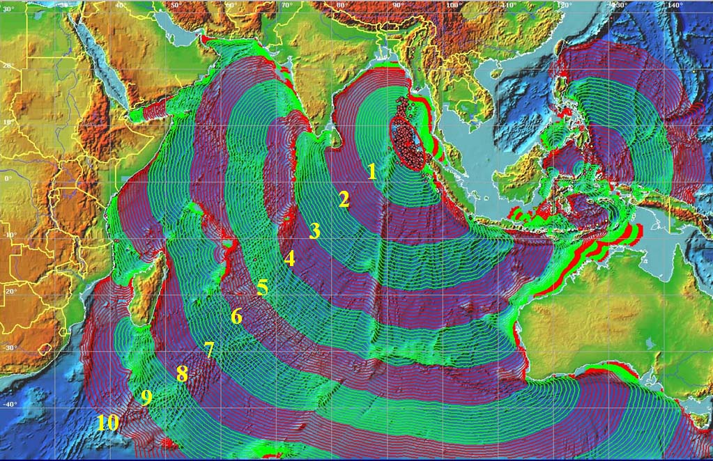
An earthquake resulting from a 8-10 minute shifting of the oceanic fault lines (the longest shifting recording) just off the northwest coast of Sumatra occurred at 00:58 UTC December the 26th 2004. This earthquake measure between 9.1 to 9.3 in magnitude on the Richter scale, making it the second largest quake recorded. Due to this magnitude, smaller earthquakes were triggered across the planet.
http://www.dri.ne.jp/koshimuras/sumatra/#m6
areal photo
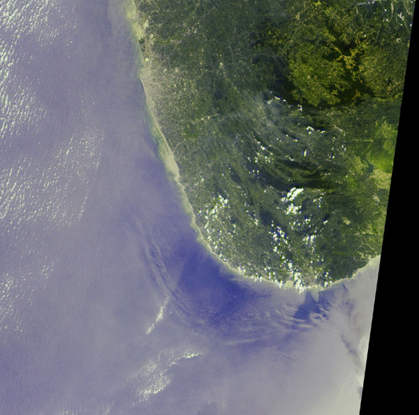
http://www-misr.jpl.nasa.gov/gallery/galhistory/2005_jan_26.html
This is an aeral shot taken by NASA's Terra satellite with a Multi-angle Imaging SpectroRadiometer (MISR), which shows the deep sea tsunami waves off the coast of Sri Lanka. The waves are visible due to the sun glint on the water. The area in the phot is 208 km by 207 km.
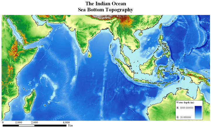
Wave Movement
The tsunami that was generated
form this quake readiated out of a line source about 1600 km long in an
east-west direction and began traveling across the Indian ocean, first
contacting the coast of Indonesia near the town of Banda Aceh approximately 25
minutes later. This was followed by two more waves about 30 minutes apart. These
waves were determined to reach a height of 24 m and traveling as far as 2 km inland.
About an hour later the tsunami reach the
The tsunami continued across the