Page 2
What
Does GPS Mean for the Land Surveyor?
With GPS
technologies coming into play the 20th century methods of land
surveying will fall out of practice.
In the survey work that I have done
we used techniques involving chains, level instruments, and total
stations, or electronic distance measurer (EDM), to measure distances
and elevations. All of these techniques require a clear way or
line of sight. Obstructions in the surveyors way had to be worked
around.
Some of the old ways

Chaining
Surveyors wanting to accurately
measure distances using a chain, which is like a metal tape measurer,
had to take into account some physics. A temperature reading was
needed to calculate the thermal expansion of the metal chain, and then
to take the measurement the chain had to be held with the appropriate
amount of tension to compensate for that expansion.
Total Station
The total station (EDM) instruments
use an infrared light signal sent out from the instrument and reflected
back to the instrument by usually a prism to measure distances.
The computer inside the total station measures the time it takes the
signal travelling at the speed of light (app. 3x10^8 m/s) to return and
calculates the distance.
end of page 2
link to page 3 3
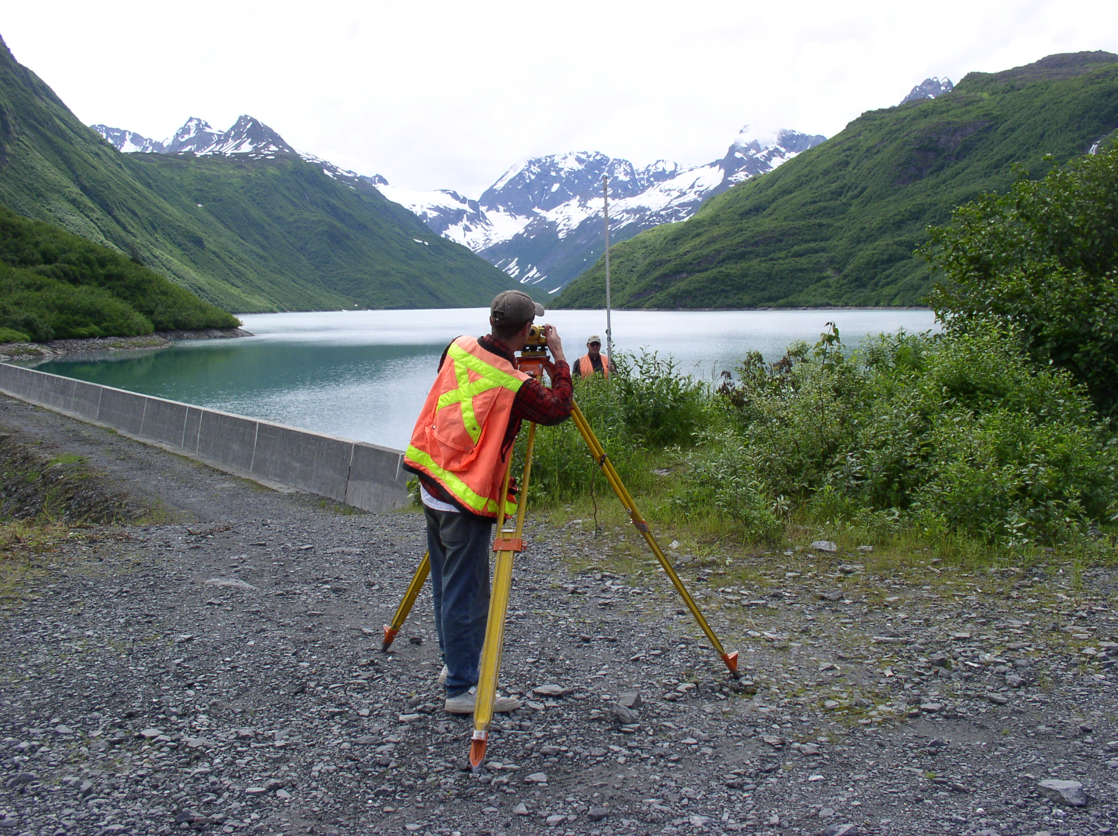
Personal Photograph at Solomon Gulch Dam,
Valdez AK